 In service
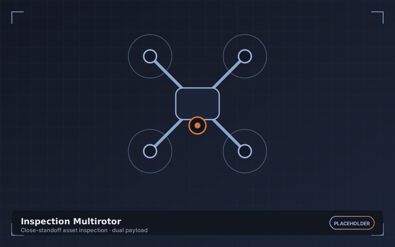
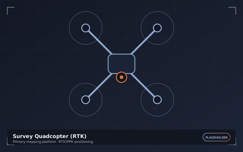
Survey Quadcopter (RTK)
Primary mapping platform
Our workhorse for site-scale mapping. Integrated RTK positioning writes centimetre-accurate coordinates into every frame at the moment of capture, which is what allows us to reduce ground control to a validation role rather than a dependency.
- Endurance
- 43 min (no wind)
- Positioning
- RTK / PPK, 1 cm + 1 ppm
- Max wind resistance
- 12 m/s
- Coverage per flight
- Up to 90 ha at 3 cm GSD
- Obstacle sensing
- Omnidirectional
- Transmission range
- 15 km (visual line of sight limited)